Description
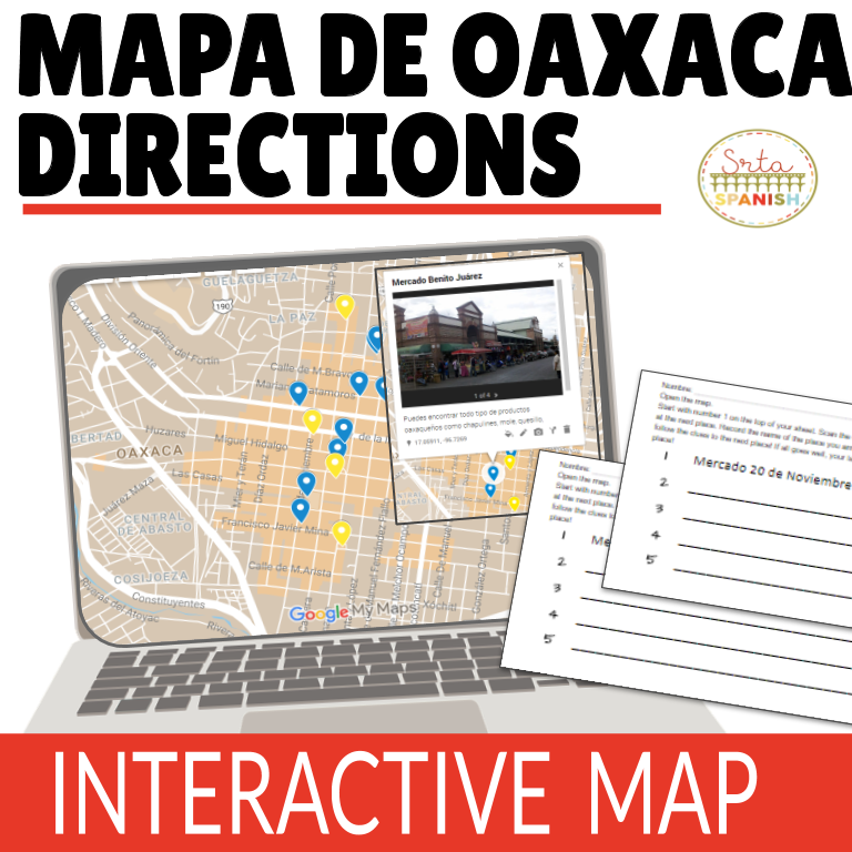
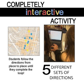
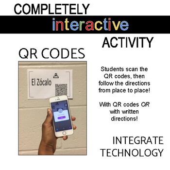
This activity offers you a great opportunity to combine Spanish skills with a real-life situation – exploring the center of Oaxaca, Mexico! Students read and follow directions, using an interactive Google Map to find their way around the city. Students will view an interactive Google Map of Oaxaca with marked locations such as mercados, Santo Domingo, el Zócalo, a few museos, and more! Students receive a starting place on the map, scan the QR code, then follow the directions to the next place on the map. Students will “walk” through the city, virtually, via the interactive Google Map, eventually looping back to their starting place! The duration will depend on how you choose to have your students complete the activity- my 4th quarter Spanish I students worked in pairs and completed the whole loop in about 40 minutes. Individual students would take much longer. A great extension would be to have students write their own directions from place to place on the map! Students concentrate on interpreting the directions in Spanish, reading the street names, and being exposed to actual places in the center of Oaxaca, Mexico.
*There is a version included where students do not have to scan a code to get the set of directions – the directions are simply written out on the half sheets.
*****************************************************************************
Similar Products:
❁Mapa de Oaxaca: Prepositions of Location Online Interactive Activity
❁Instagram en Oaxaca: Online Interactive Activity
❁Check out my how to guide for online interactive resources!


Reviews
There are no reviews yet.