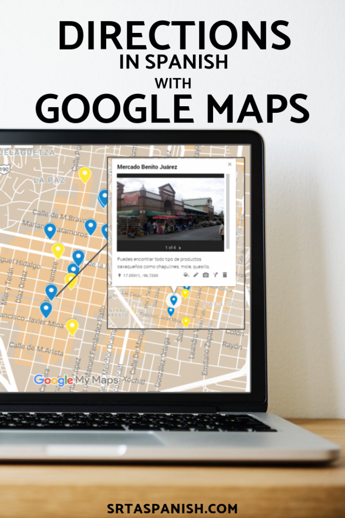
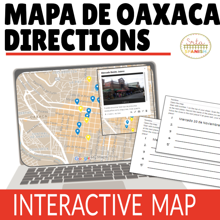
I had been tossing around the idea of doing the QR Code Running Dictation post from Keith Toda over at Totally Comprehensible Latin combined with a sort of..scavenger hunt adventure to work on interpreting directions. However, I work in a pretty big school, and I was worried about other students messing with the scavenger hunt clues for the dictation, so that idea was tweaked to combine the QR Code aspect of the running dictation, with one of my favorite activities (¡Corre en Círculos!) in order to maintain the clue aspect while keeping the clues and students within my own classroom. Students would scan the codes, read the clues, follow them on the map, and get to the next place!

Preparation Beforehand
I had already created a map of Oaxaca with locations marked for the Google Maps + Directions activity my students had completed last week to focus on prepositions of location. It just made sense to recycle that map to cut down on prep AND incorporate more of those real-life places from the city.
Next thing was to create the “loop”. I picked out 5 locations within the city that I wanted to highlight, then wrote directions from one to the next, with the last place looping back to the beginning. Then, I created half sheets with the name of the starting location, and a QR Code that when scanned leads to the directions I’d written for each of the 5 locations I picked out. I also created 5 sheets for students to record their answers, with each sheet having a different starting location filled in. I didn’t want them all to follow the same path!
Go time!
My students have done the ¡Corre en Círculos! activities several times, so they’re pretty used to me taping stuff on the walls and them having to run from place to place to complete an activity. I had my students work with one of their partners from our cooperative learning groups to make sure they had some support. Each student pair got an instruction sheet with a different one of the 5 places to start at so they weren’t all crowding around the same QR Code at the same time.
Students would scan the code with their phones (Snapchat scans QR codes!) or laptops, then go back to the map on their computers to follow the directions to the next place. When they had the answer, they would go to the next half sheet, and scan that one!
When students thought they had their loop figured out I would check them, then they would move onto the next activity I had for them.
This wound up taking my Spanish I students about 35 minutes, which worked really well for our 50 minutes class period with a warm-up, and explanation of the activity. I think next time, instead of doing the worksheet I had for them to do when they finished, I might do an extension activity that involves them working with the map in some way!
Some possible extensions:
- Students pick a new place on the map and write directions to the new place.
- Students read directions from a classmate and try and figure out where their classmates were describing.
- Pick a street that was named after a famous person and find out about them.
- Students pick one of the places on the map and look up additional information about it, then describe it.
- Students write a series of directions from place to place, using the yellow markers on the map instead of the blue (this would probably be a next day activity for my students, but it would be a good way to use this map again!).
I was really happy with how this activity worked out! I was anticipating a lot of confusion about using phones + laptops + paper, but it really went off without a hitch. I did have sheets printed off that skipped the scanning step (directions were just typed out) just in case we had tech issues, but everyone was able to use a phone or device to scan the codes just fine! My students were working really hard to interpret the directions. I heard a lot of good discussion using our targeted structures as the kids read the directions out loud to each other, slowly, and followed them together. The emphasis was definitely on language usage and exploring the city, and the tech integrated seamlessly into this activity. I’m calling this a win for my technology + target language acquisition adventure. Woohoo!
Check out my previous posts on technology + Oaxaca!
Instagram in Oaxaca • Google Maps + Directions
If you would like to skip all of the preparation steps, this activity is posted in my Store.


What an interesting way to incorporate technology in the classroom and boost class participation! This could easily be transferable to different language teachers and gets kids thinking about places in the target language culture. I’d love to pair it with a cultural unit on the various places they see via QR code.